Engineering Ghana's
Future
A multi-disciplinary geospatial and engineering consultancy — delivering civil works, aerial mapping, geotechnical studies, and sustainable infrastructure solutions with data-driven precision across Ghana and beyond.
Trusted by Industry Leaders
Capabilities
Core Services
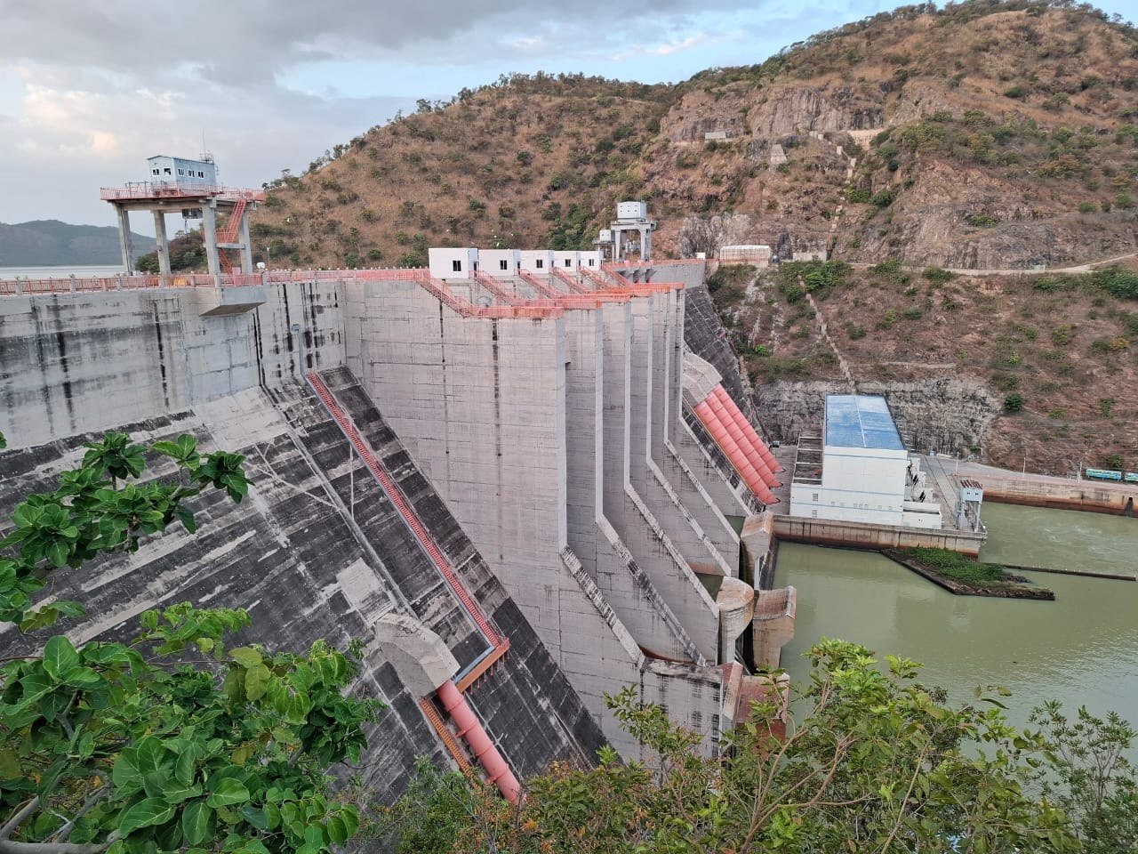
Civil Works
Structural design, foundational engineering, and infrastructure development executed with exact geometric tolerances.
ExploreGeospatial Tech
Advanced topographical mapping, drone surveying, and GIS data analytics for informed site planning.
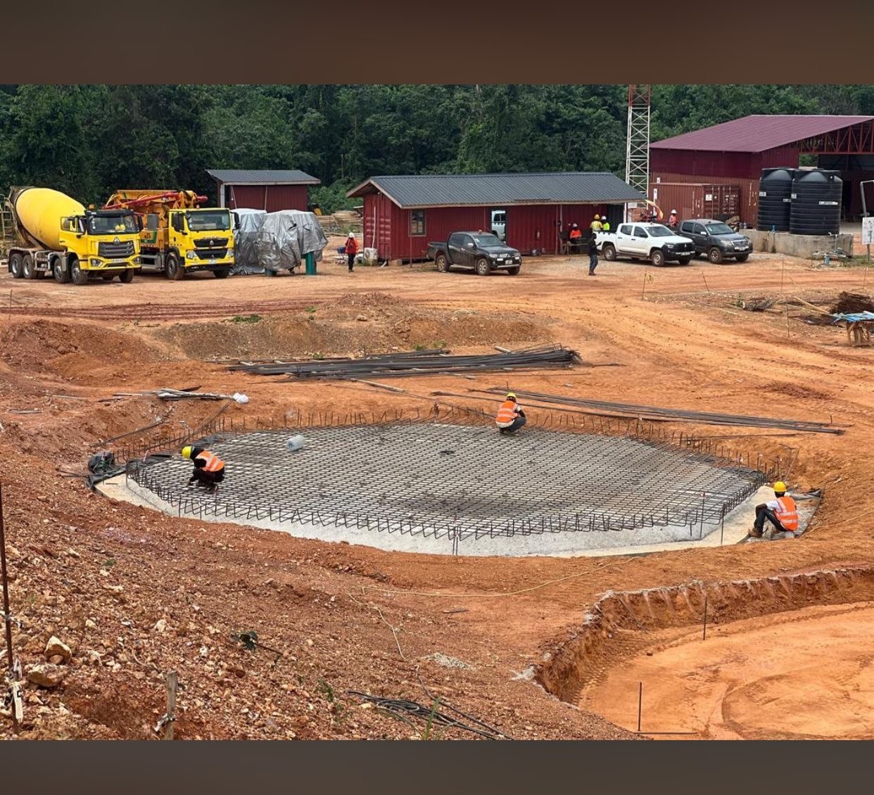
ExploreConstruction
End-to-end project management, ensuring sustainable material use and adherence to structural blueprints.
ExploreThe Collaborative
Data-Rich Consulting for
Complex Environments.
We use a participatory approach in every project — involving client staff directly to transfer the most appropriate technology through sound project management. Our teams combine geospatial analytics with rigorous civil engineering to mitigate risk and optimize development life-cycles.
- Topographic Contour Analysis & LiDAR Mapping
- UAV / Drone Surveying & Remote Sensing
- GIS Integration & AI Predictive Modelling

Ready to Build
Something Lasting?
Connect with our engineering team to discuss blueprints, geospatial analysis, and project feasibility.
Initiate Project