Capabilities
Our Services

Civil Works
Comprehensive site development, earthworks, and structural foundation engineering tailored for demanding topographies.
Learn More
Engineering Design
Rigorous CAD modeling and structural load analysis, ensuring compliance with international safety and durability standards.
Learn More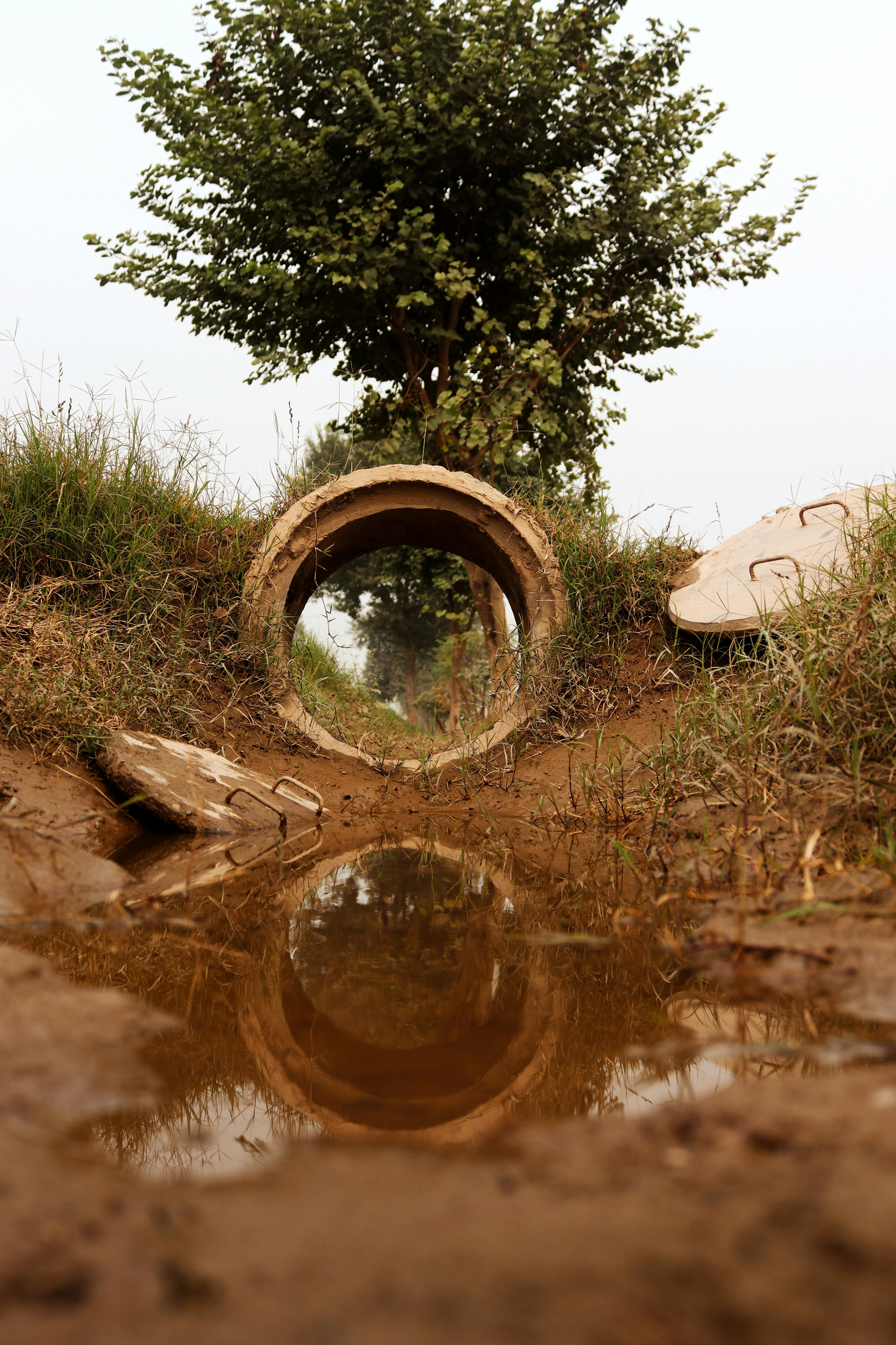
Urban Drainage
Hydrological modeling and stormwater management systems designed to mitigate flood risks in complex urban environments.
Learn More
Aerial Mapping (LiDAR)
High-density point cloud generation for millimeter-accurate topographic modeling and volumetric analysis.
Learn More
Remote Sensing
Multispectral imagery analysis for environmental monitoring, land use classification, and resource management.
Learn More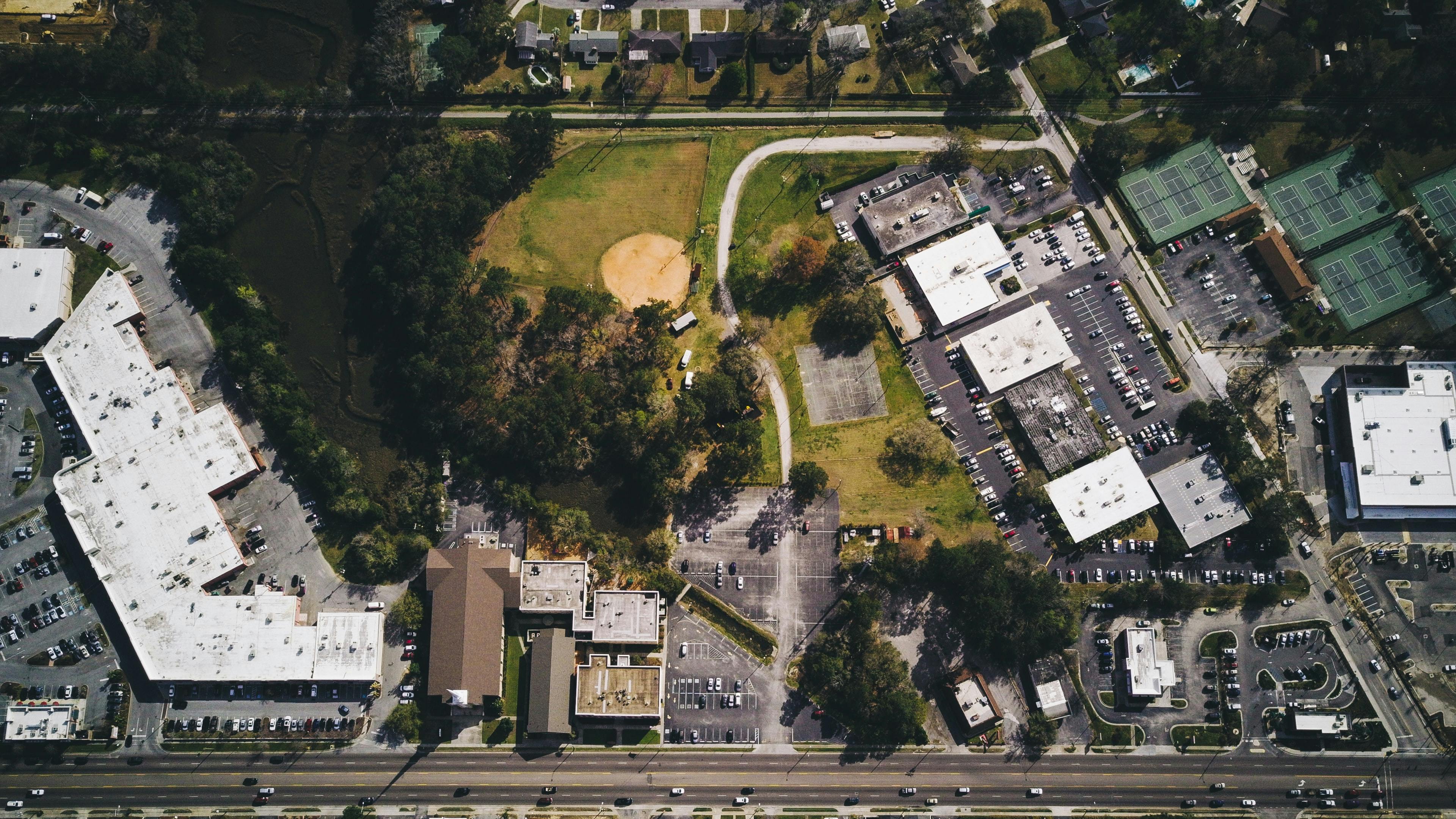
GIS Integration
Custom spatial database architecture and predictive spatial analytics for large-scale infrastructure planning.
Learn More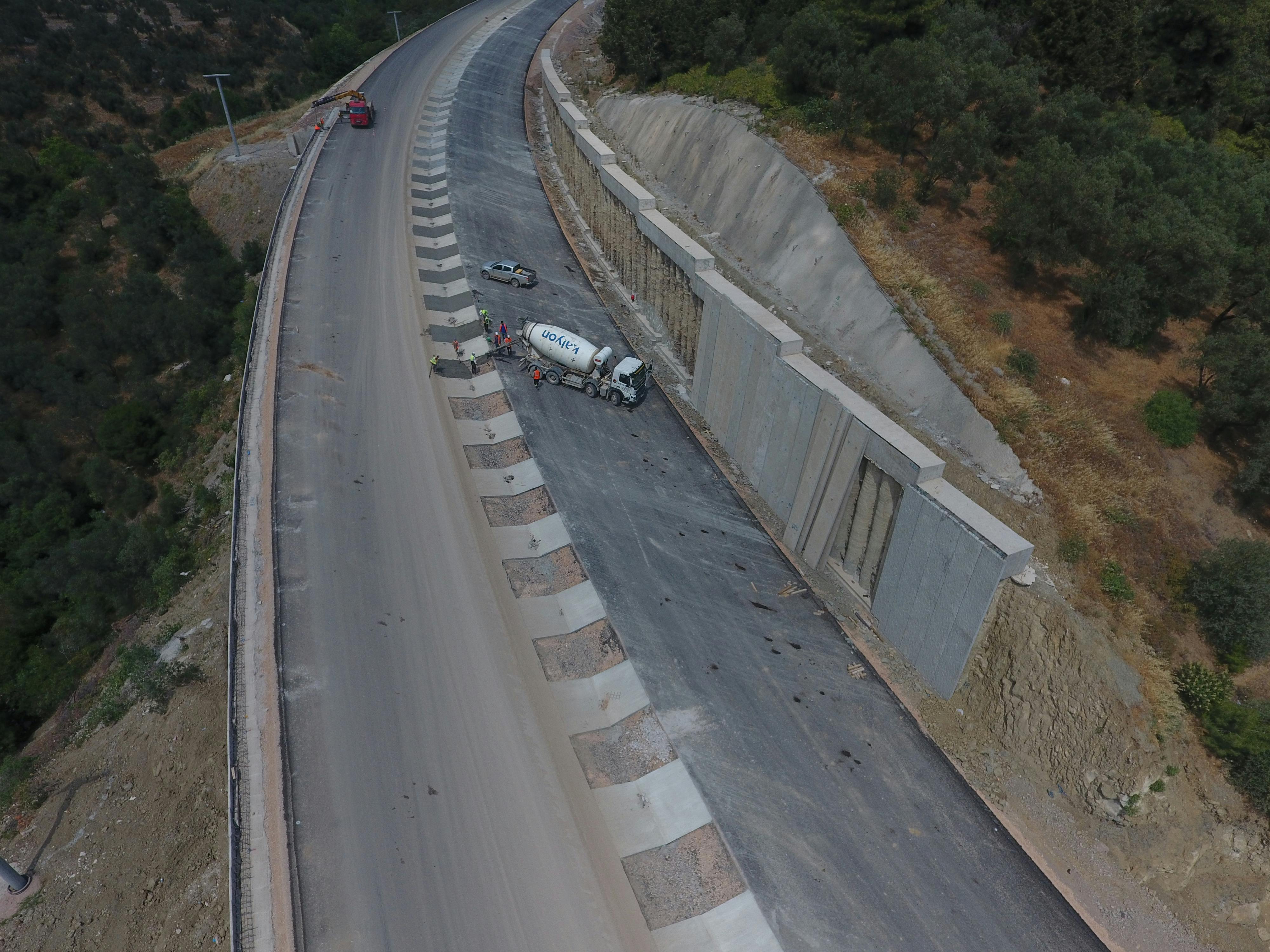
Geotechnical Studies
Deep-soil sampling, permeability testing, and seismic risk assessment for critical foundation design.
Learn More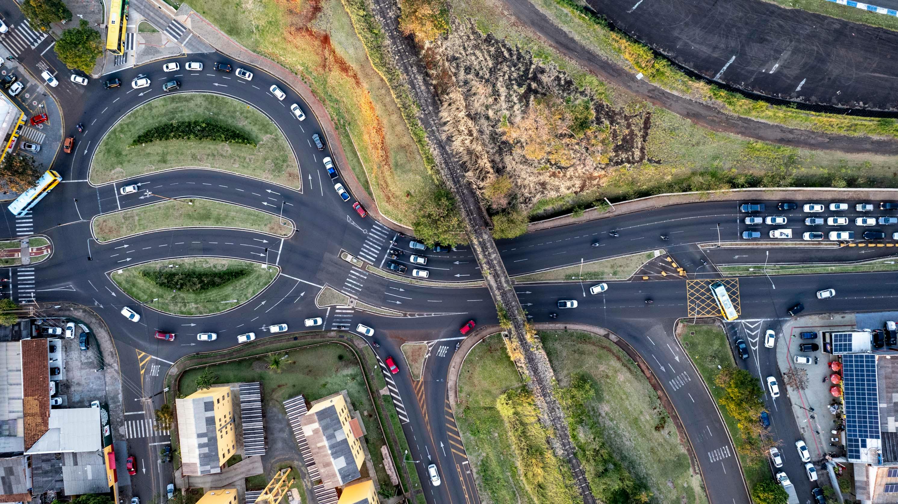
Transportation Planning
Traffic flow simulation, alignment optimization, and pavement engineering for robust logistical networks.
Learn MoreCase Study
Project: National Bauxite — GIS & Infrastructure
Our team led GIS and Road Infrastructure engineering for the phase one National Bauxite Project in Nyinahin and Kibi under GIADEC, integrating geospatial data with civil works planning across mineral-rich terrain.
Discuss Your Project